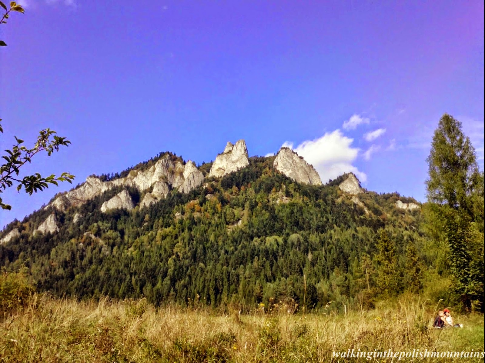
Trzy Korony (Three Crowns) 982 metres amsl - is the summit of the Three Crowns Massif, an independent portion of a range called Pieniny Mountains in the south of Poland. Trzy Korony forms the central part of a compact group of connected mountains known as Pieniny Środkowe consisting mainly of the limestone and dolomite rock strata.
In 17.09.2011 we decided to go to Sromowce Niżne. It’s a village in the administrative district of Gmina Czorsztyn, within Nowy Targ County, Lesser Poland Voivodeship in southern Poland, close to the border with Slovakia. If someone looking for place to rest in the mountains I would recommend this placeJ
In 17.09.2011 we decided to go to Sromowce Niżne. It’s a village in the administrative district of Gmina Czorsztyn, within Nowy Targ County, Lesser Poland Voivodeship in southern Poland, close to the border with Slovakia. If someone looking for place to rest in the mountains I would recommend this placeJ
we went to the top
board "Przełęcz Szopka"
After
passing the shelter, the trail led forest path uphill, next we came to
"Przełęcz Szopka", where we admired wonderful views from here. Here
intersect two trails yellow and blue, we turned right on blue trail led to
"Trzy Korony".
view from "Przełęcz Szopka"
nice view from "Przełęcz Szopka"
signboard on peak "Trzy Korony"
After about
30 minutes we reached the top of the "Three Crowns", where there
wasn't one else. We could go to observation deck, and enjoy the beautiful views
from the top.
view from "Trzy Korony"
beautiful view from the peak
wonderful view
beautiful sky
clouds below us
Sromowce Niżne below the clouds
we went to the "Zamek Pieniński"
Later we
went blue trail towards "Zamek
Pieniński", called Castle St. Kinga too. Now here are the ruins of the castle, and you
can visit it.
ruins of the castle
view from the castle
Afterwards we
walked in the direction "Sokolica" 747 m amsl, it took us a lot of
time because on this peak we reached after 2:30 hours. Meanwhile the mist disappeared and on top of “Sokolica”
were amazing views to “Pieniny” mountains and “Dunajec” river.
beautiful view from the "Sokolica"
view from the "Sokolica"
"Dunajec" river
view of the "Dunajec" river
"Dunajec" river
rafting of the raft
point of view on "Sokolica" peak
on the raft...
Then we
went to the green trail to Krościenko, where after a short sightseeing the
village, we went in the way back along the yellow trail, a length 6 km, to the
Sromowce Niżne.
view of the "Krościenko"
back to the village "Sromowce Niżne"
view from the "Sromowce Niżne" to the point of view "Okrąglica"
view from the "Sromowce Niżne" to the "Trzy Korony"
It was a
tiring trip because we went over 19 km and it took us about 8 hours, but views
were amazing and I recommend it for all who like walking in the mountains.


No comments:
Post a Comment